 GEOTECHNICAL INTELLIGENCE
Transition from reactive to proactive geotechnics.
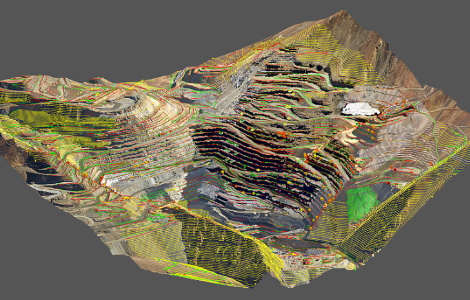
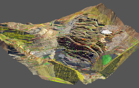
Tangram detects, quantifies, and mitigates geotechnical risks by integrating structural mapping with development and design surveys in a high-precision 3D environment.
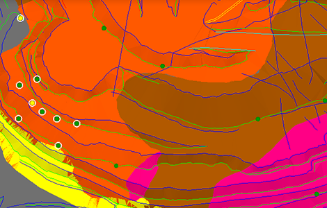
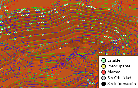
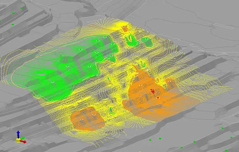
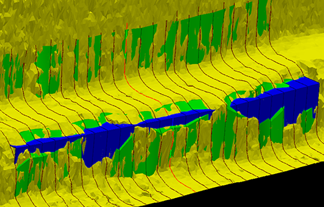
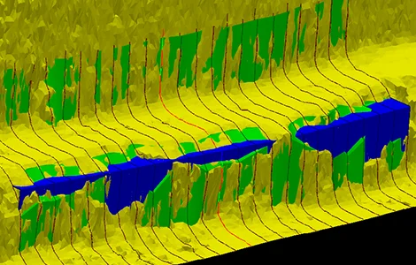
Integrates mapped structures to locate unstable blocks, calculate tonnage, Safety Factor, and prioritize reinforcement.
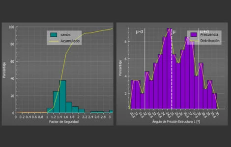
Analytical module that processes point clouds and fault information to model structural discontinuities and prevent rockfalls on operational benches.
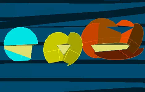
1. Automatic and georeferenced detection of instabilities
Algorithmic identification of planar failures, wedges, and potentially hazardous blocks on exposed faces.
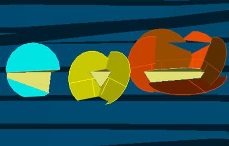
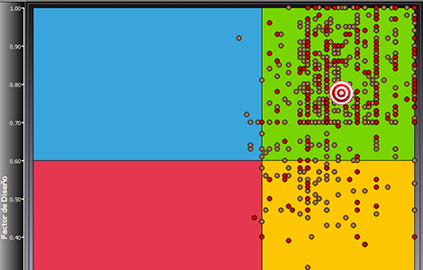
2. Calculation of Safety Factor and Probability of Failure
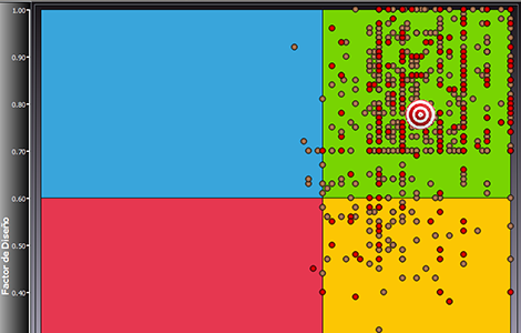
Real-time geomechanical assessment for each unstable block quantified in the 3D model.
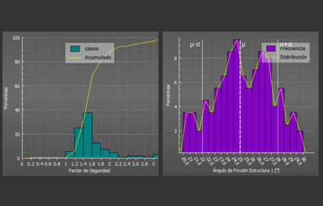
3. Variation of design parameters and resulting topography
Enables dynamic simulation of changes in face angles to mitigate risks before mining.
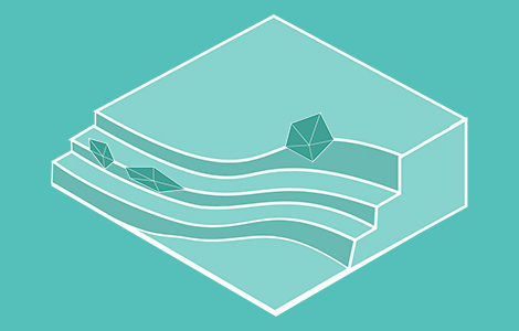
4. Projection and simulation of structures
Spatial extrapolation of structural planes into unexcavated areas or future expansion phases.
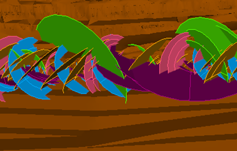
5. Mapping
Direct and seamless loading of structural data and point clouds captured by scanners or drones.
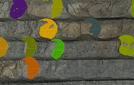
6. Other featured tools
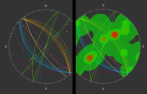
Generation of standardized reports and interactive stereographic export in seconds.
- Proactive management and increased safety.
- Time optimization and 3D interoperability.
- Slope design support.
- Management based on a structural database.
- Automatic detection of planar failures, wedges, and complex blocks.
- FoS and PoF calculation by block.
- Simulation of structures toward design topographies.
- Bulk attribute editing and seamless management of thousands of structures.
- Intel Core i7. Core i9 or higher recommended.
- 16 GB RAM minimum. 32 GB or more recommended.
- 500 GB storage. 1 TB or more recommended.
- Windows 10 or higher.
- Graphics card with OpenGL 3.3 support.
Greater safety and operational continuity through automated instability detection.
Early and georeferenced detection of instabilities on planned and constructed slopes. It is recommended to remove blocks with FoS ≤ 1.5 or PoF > 20% once the bench has been mined, increasing the reliability of the short-term plan.
“By reducing geotechnical events, we increase operational continuity and the reliability of our plans.”
Senior Geotechnical Engineer · Tier-1 copper mine
Stability analysis in hours, not weeks.
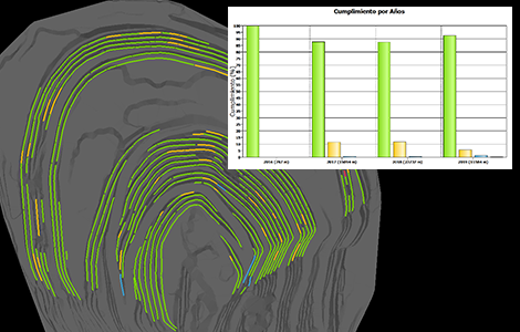
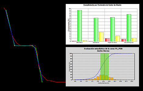
Centralization of structural information (historical and new), automatic detection of georeferenced instabilities, and design evaluation to increase berm width in key areas.
“The versatility of selecting structures for analysis by area allowed me to save a very significant amount of time.”
Senior Geotechnical Engineer · Tier-1 mine